| home |
|
The
Ujumchin is an ancient tribe of Mongolia. ˇˇ East Ujumchin Banner with an area of 47,300 square kilometers, it is larger than Denmark, Switzerland and the Netherlands. ˇˇ
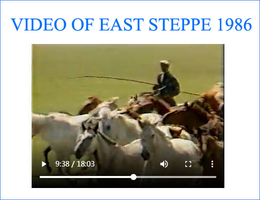
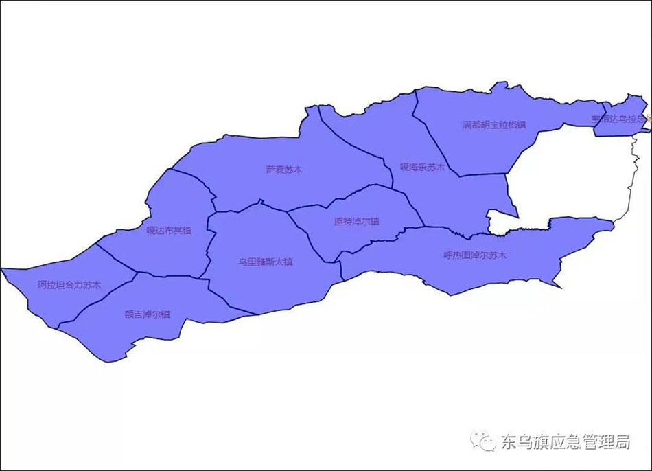
East Ujumchin
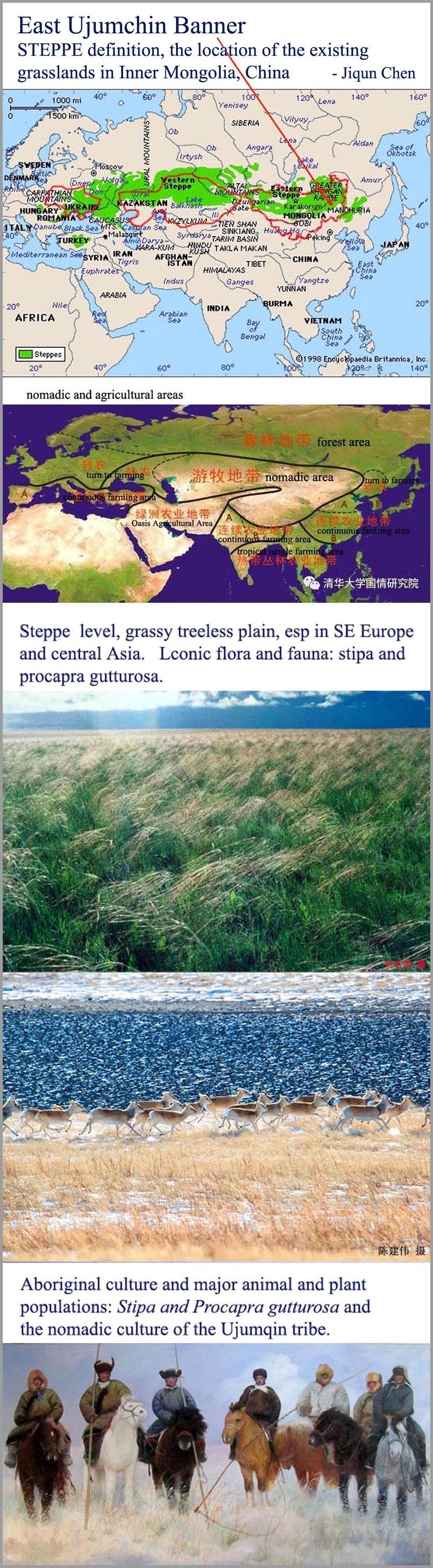
grassland ecology : ˇˇ
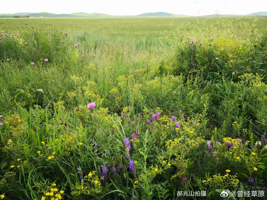
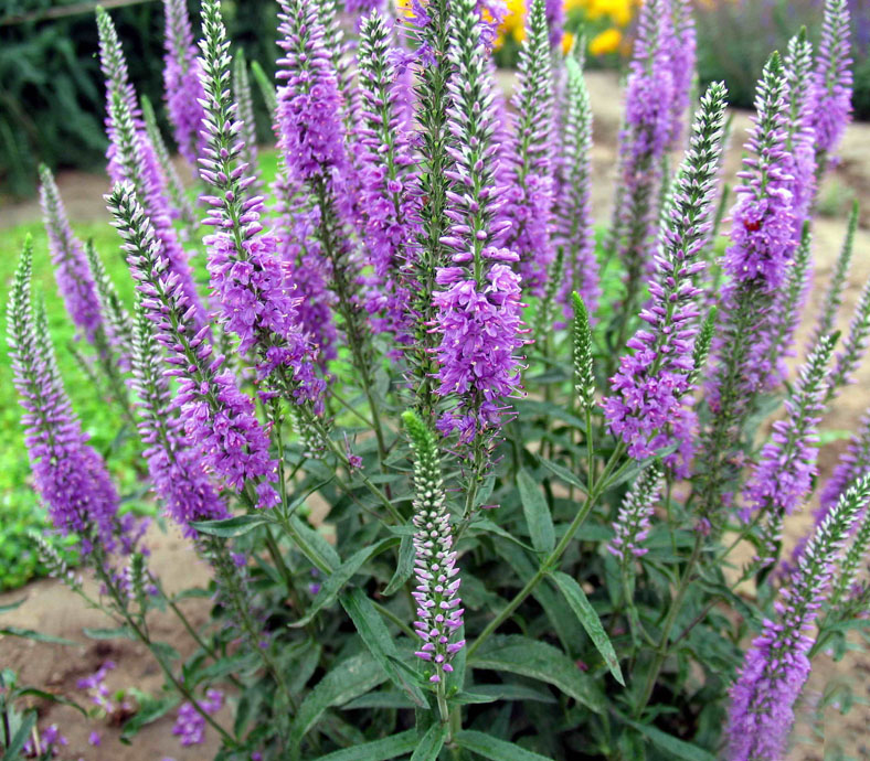
Vegetation
Survey of Mandu Grassland Vegetation List (2005)
ˇˇ ˇˇ |
|
Tolbot, Genghis Khan's 16th generation descendent, migrated from the Hangai Mountain to the south of the Gobi Desert. Ongondular, Tolbot's the youngest son, began to call his tribe Ujumchin, which means the people of the Grape Mountain, because that was their ancestral homeland before the migration.
During the Tai Zhu years of Late Jin, Dorji, the head of the Ujumchin tribe, lead his tribe to
the Keluren River due to his dispute with Linden Khan, who was the ruler of the Mongol Tribes
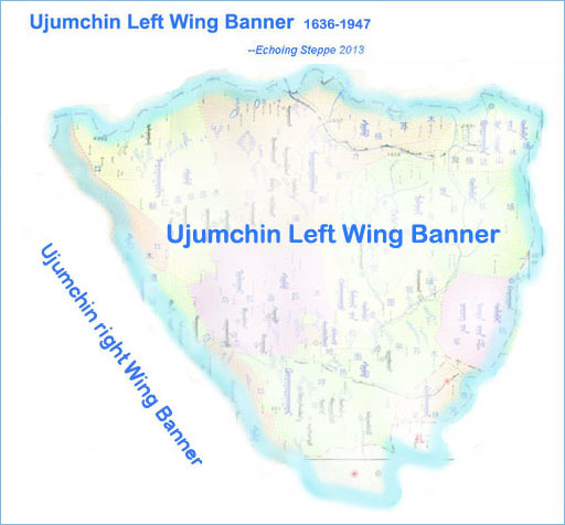
at the time. In the first year of Cong De (1636),
In 1945, Dorji Khan, the head of Ujumchin Left Wing Banner, led half of the banner's population to the vicinity of the Keluren River in Outer Mongolia after his defeat by the army of Ulanhu, who later became the first governor of Inner Mongolia Autonomous Region. The descendents of Dorji Khan and his followers still lived in the same area in Outer Mongolia today. ˇˇ
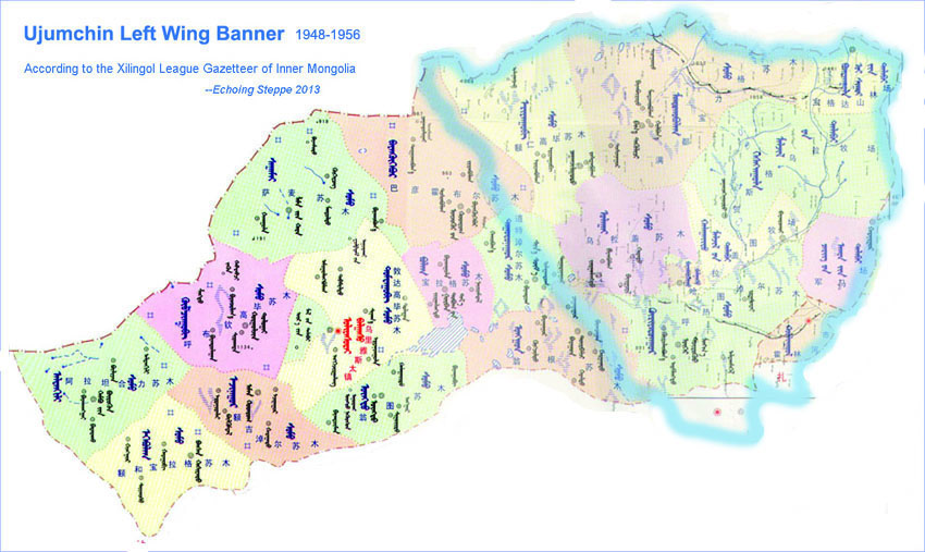
In 1946, the Left Wing Banner of Ujumchin was named East Ujumchin Banner. After the liberation, East Ujumchin Banner maintained and
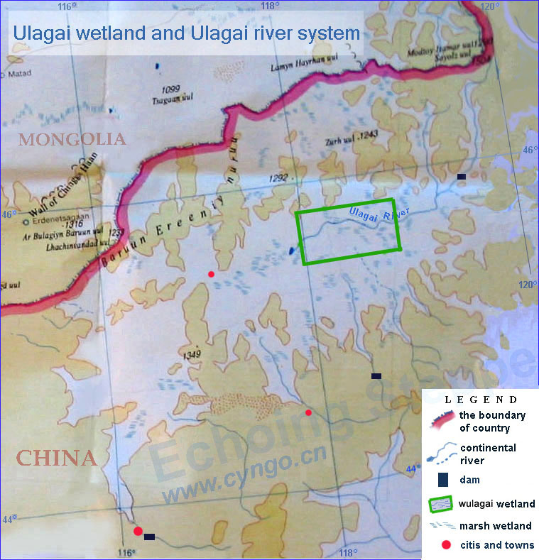
developed its traditional animal husbandry. Since 1991 it has been the top county in China in terms of live-stock number. ˇˇ ˇˇ ˇˇ ˇˇ ˇˇ ˇˇ ˇˇ ˇˇ ˇˇ ˇˇ East Ujumchin Banner is located in the northeastern part of Xilingol league and Inner Mongolia Autonomous Region. It is 850 kiloneters from Beijing, the capital of "China". It covers an area of 47,326 square kilometers and has a population 57,000, of which 38,000 being Mongolian. The eastern part of East Ujumchin is higher than the western part by topography. The Greater Hinggan Mountain is the main mountain, with a height of 1,500 meters at its Boged Peak. The major rivers are: the Ulagai, the Seileji, the Hailestai and the Narin (Narrow) Rivers. There are many lakes and springs in East Ujumchin is famous for its fertile pastures. The annual average temperature is below 0 (C), which is well-suited for raising live-stock. ˇˇ
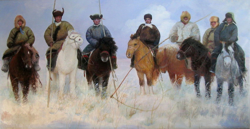
Ujumchin
Herdsman
-Chen
Jiqun oil painting
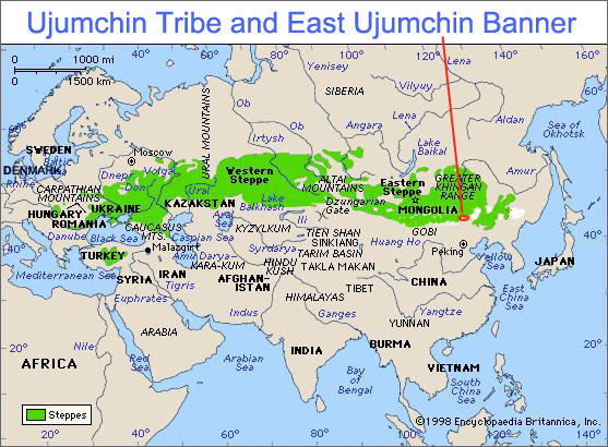
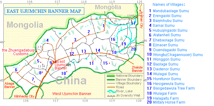
Map of the Ujumchin
Steppe
( East
Ujumchin Banner ) ( 1968 ) Cultivation of land was forbidden throughout history until 1969, when the Ulagai Cultivation District was established. After then, Ulagai river berefted and large areas of land to be cultivated with great damage to the environment.
|
ˇˇ
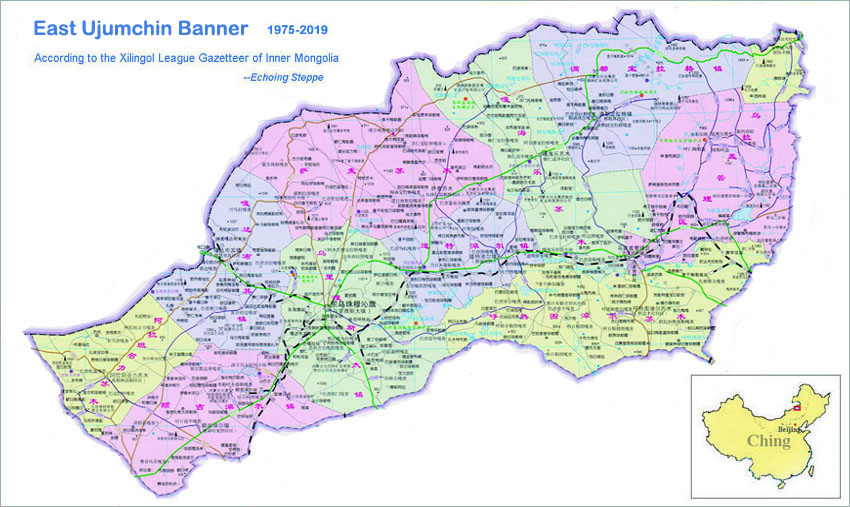
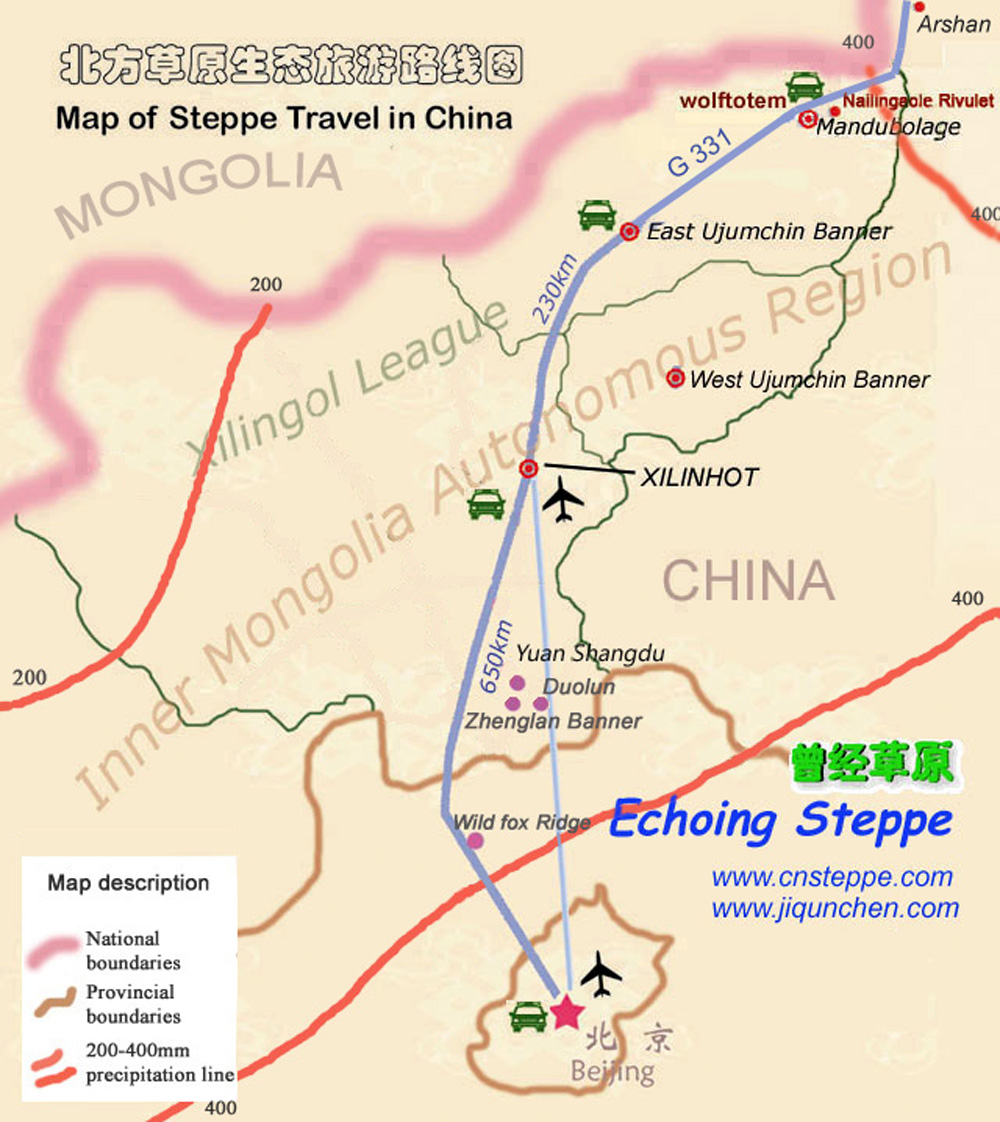
Map
of the Xilinguole League
ˇˇ
ˇˇ
![]()
ˇˇ
ˇˇ
ˇˇ